Off Grid Land For Sale In Missouri
If you’re looking for a secluded, remote property that’s off the beaten path, look no further.
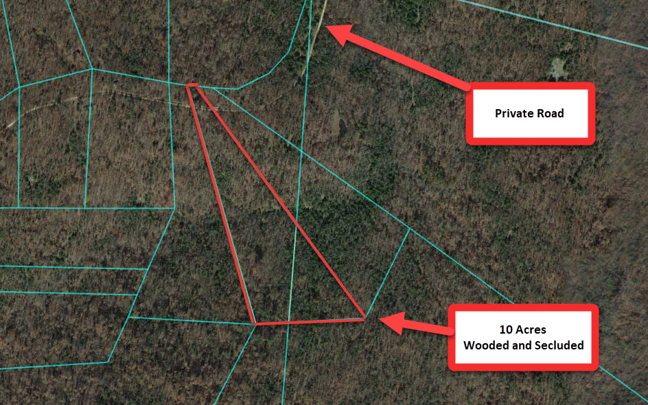
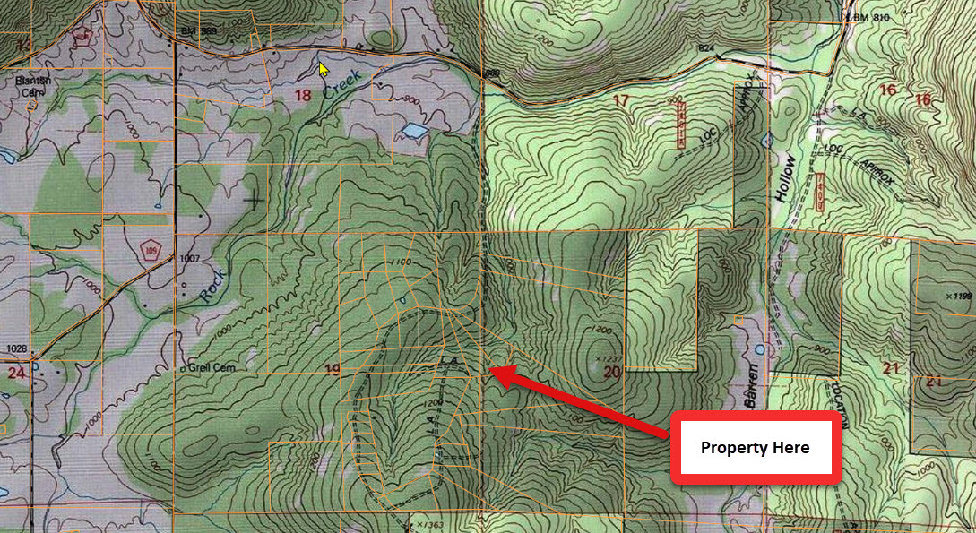
This 10 acre property is located close to the border of Iron County and Madison County, and is approximately 0.85 miles off of Madison County Road 518, down a gated private road that is for residents’ use only. This enhances the privacy and seclusion of the property, and ensures that there will be very little traffic or disturbances while you’re there. There is NO HOA and NO RESTRICTIONS on what you can do with this land.
It’s an ideal weekend/recreation or hunting property, or great for someone who is looking to live off-the-grid in a private and quiet environment.
It’s also surrounded by vacant properties on all sides.
The road to the property is a little bit rougher in areas – drive slow or bring a 4×4.
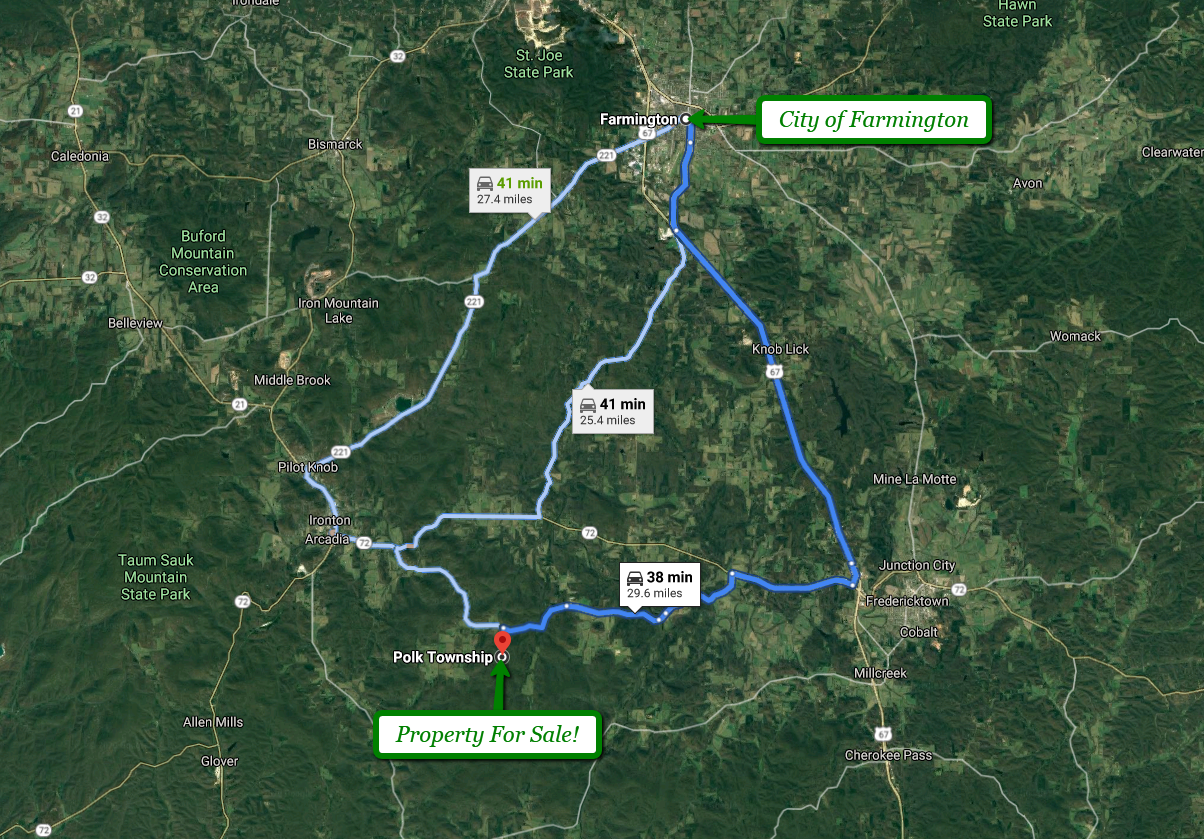
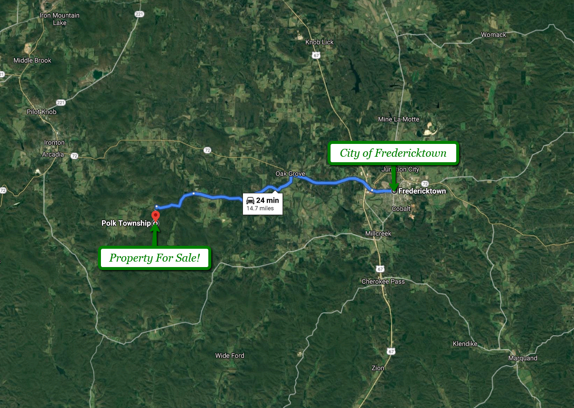
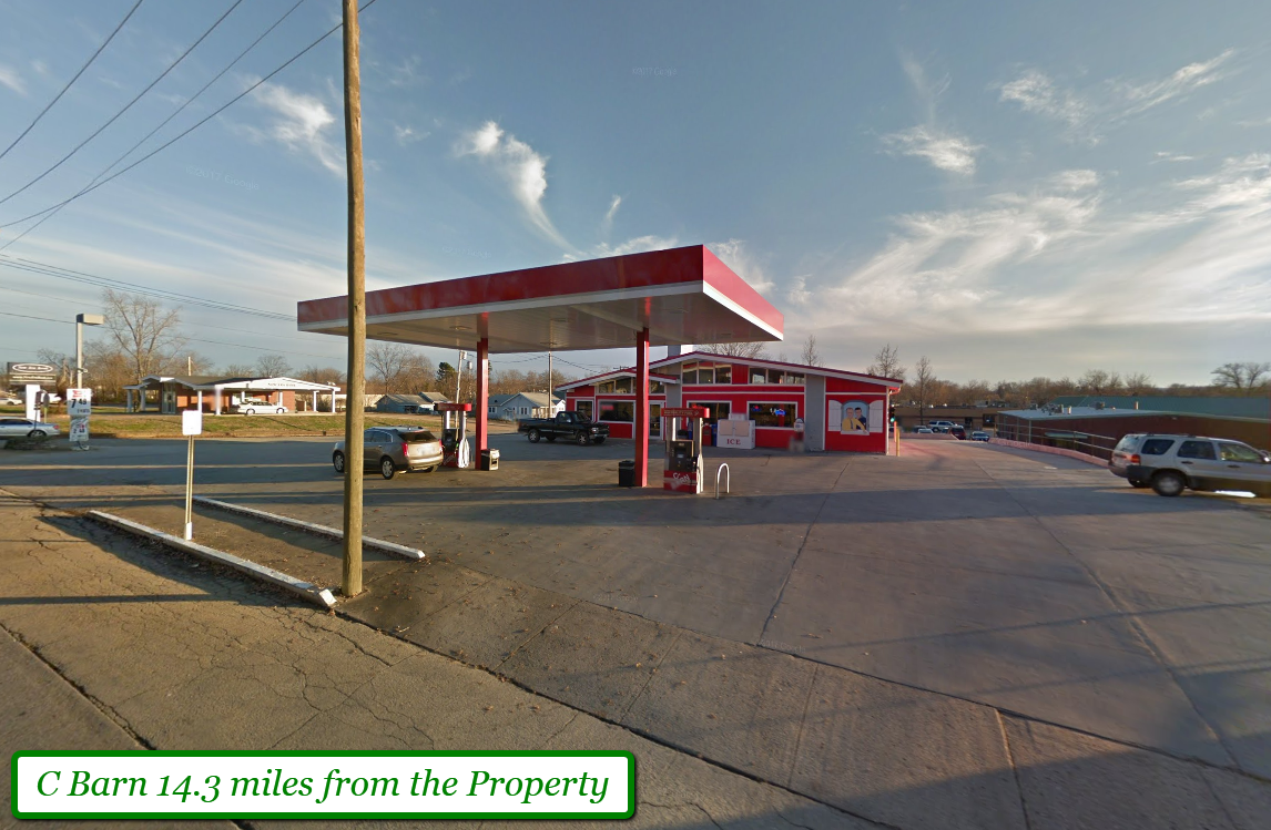
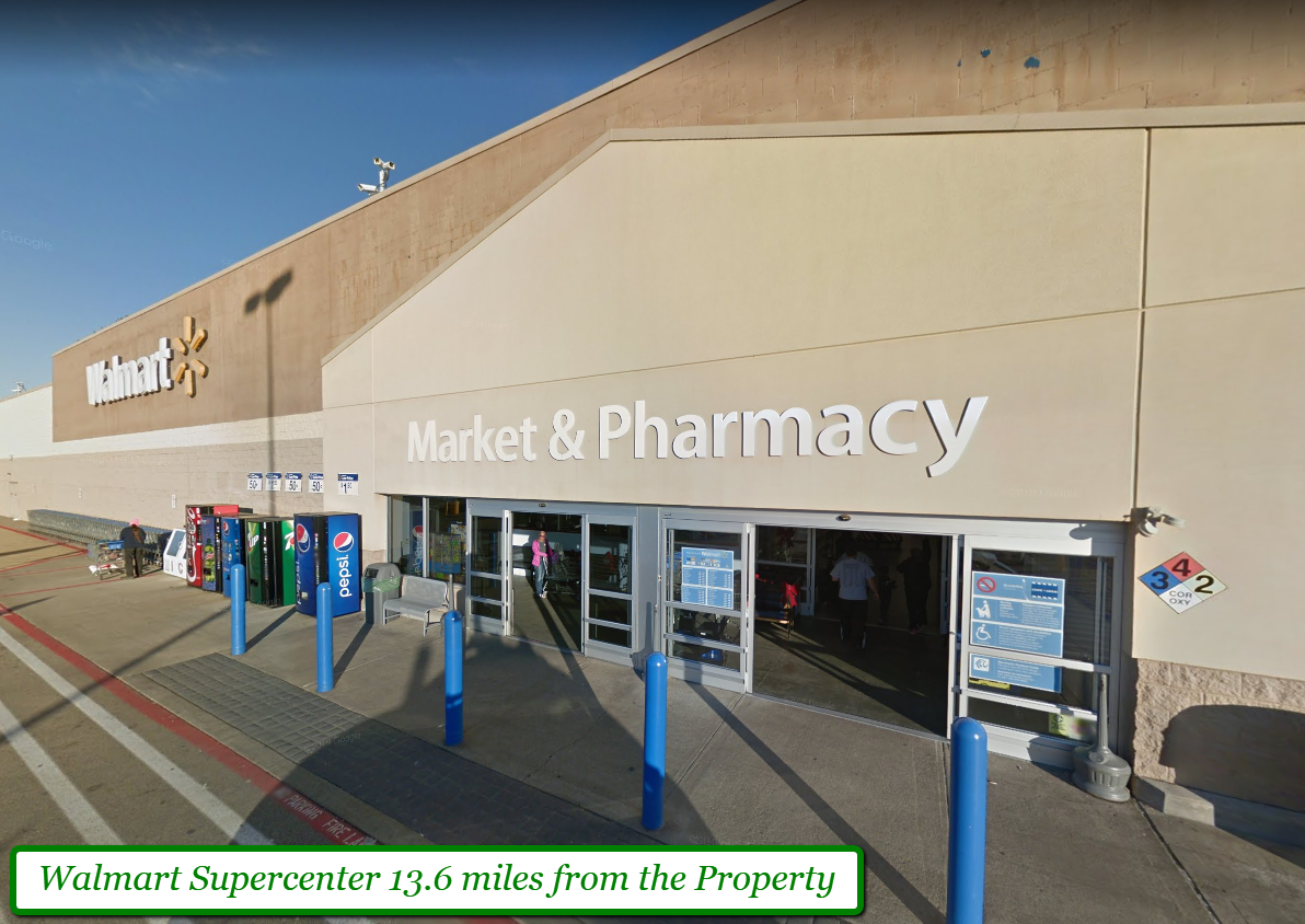
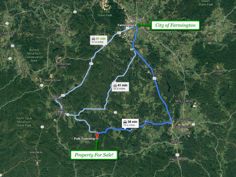
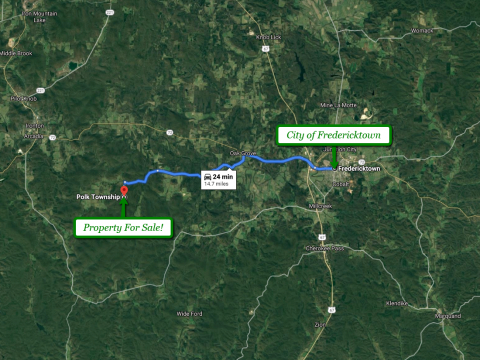
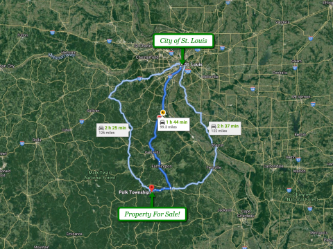
While it’s indisputably off-the-beaten-track, this parcel is between Fredericktown (25 min), Ironton, and Lesterville (35 min) & Farmington (40 min). So, you have easy access to basic conveniences and important amenities like groceries, restaurants, doctors, shops, and more.
The lot is within close proximity to lots of Public land, such as Barren Hollow, Smith Mountains, Millstream Gardens, the St Francis River, and Mark Twain National Forest. These are just a few of the areas which are quickly and easily accessible, and provide ample opportunity for hiking, fishing, camping, hunting and more. Additional information about the area below.
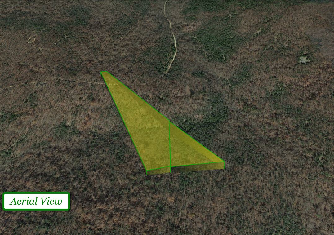
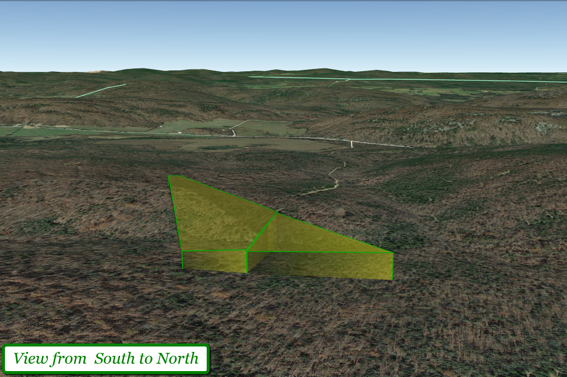
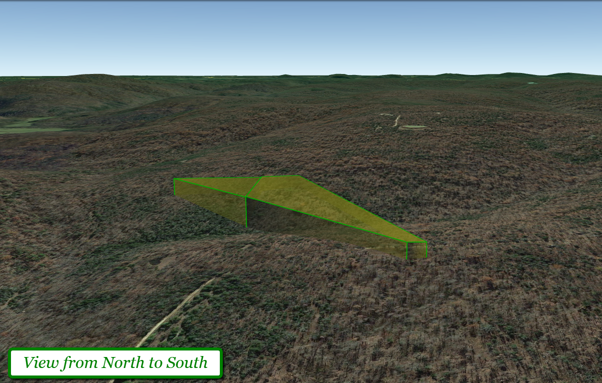
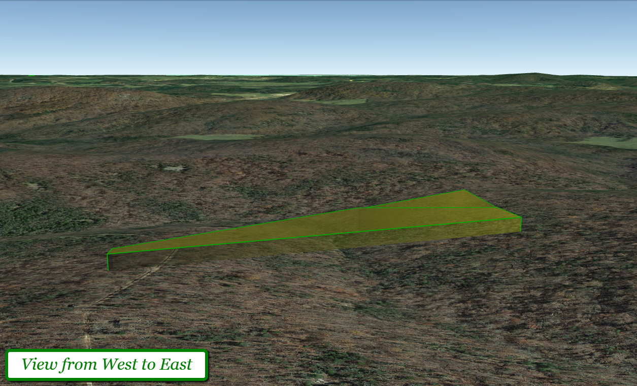
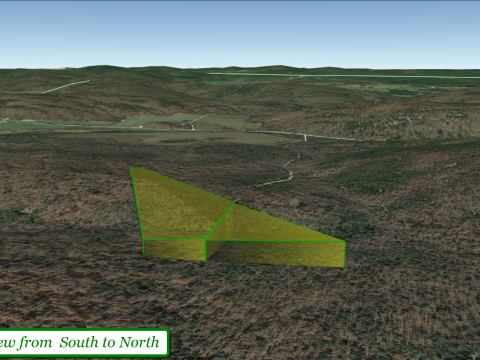
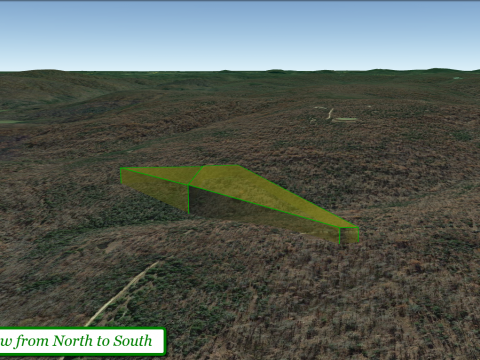
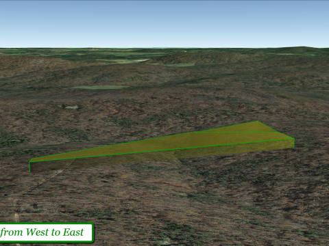
This parcel is mostly wooded and gently sloping, and is suitable for a home-site.
CASH PRICE: $20,452
This parcel is priced to provide the buyer with the best value possible – it’s the cheapest 10 acre parcel in the entire county.
Call Bob or Carly at 760-607-3300 for more info.
Lot Info:
- Lot size: 10 acres
- APN: This parcel is split by a section line, so it has 2 APNs – they are 05-4.0-19-000-000-041.000 & 05-4.0-20-000-000-008.000
- Legal Descriptions: PT SENE; PT NESE VACANT
- Annual Taxes in 2019: $55.23 (for both parcels)
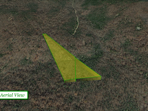
- Dimensions: 43 ft x 1,557 ft x 593 ft x 1,338 approx
- GPS coordinates of the corners of the lot (*approximate*): 37.5329, -90.5258 37.5362, -90.5292 37.5362, -90.5294 37.5327, -90.5278
- GPS coordinates of the center point of the lot (*approximate*): 37.534, -90.5277
- Zoning: There is NO ZONING – do what you want with your land.
- Camping, RVs, Mobile homes, tiny-homes, shouses, single-family homes all allowed.
- This property is located in MADISON COUNTY UNINCORPORATED AREAS.
- Property Access: Gravel road
- Zip Code: 63650
- This property is NOT in a flood zone.
- Septic System Required. The development is not on public sewer.
- Water: This parcel is NOT on public water, a well would be required.
- Electricity: This property is serviced by Black River Electric Co-op (573-783-3381). There is electricity in the area, but not at the property. It would need to be set up. Alternatively, SOLAR energy is another cost-effective option.
- Madison County Website
- Assessor Website – 573-783-3325
- Treasurer Website
- Recorder/Clerk Website – 573-783-3410
- Zoning Department Website
- County GIS Website
Viewing Instructions: You can go view the property at your convenience. Owner does not need to accompany. However, please call to tell us you’re heading out so we can ensure we have our phone on in case you need directions or help with any questions.
There is a “FOR SALE” sign in the front of the lot, and the lot’s corners by the road are staked.
Driving Directions: Because this is a vacant lot, there is no physical address. You’ll be navigating there using GPS coordinates. Enter the GPS coordinates (listed above) into Google Maps or Click HERE to open the location directly in GoogleMaps. The street name is “S of County Road 518” in google – when you get there it is labelled Rock Hill Lane. We HIGHLY recommend downloading the OnX Hunt App and download the OFFLINE MAP. The property is remote and you will have a tougher time finding it without this.
PLEASE NOTE! To walk the property lines, we highly recommend an app called OnX Hunt, which uses your phone’s GPS system to show you property boundary lines, and allow you to walk them in real-time. They have a 7-day free trial, so you can download the app and use it for free. Just remember to cancel before the trial ends so you aren’t charged. Additionally – because cell phone reception can be spotty, please ensure that you DOWNLOAD the parcel map as an OFFLINE MAP from OnXMaps before you go. If you have any questions about how to use OnX Hunt to walk the property lines, or download the directions, please call us before you go down to the property so we can walk you through it.
About the Area:
Madison County features a perfect blend of rolling farmland and heavily forested hills with many creeks, rivers and lakes. Nestled amongst this natural beauty are the historic towns of Fredericktown and Marquand, each offering a unique experience to adventurers in Madison County, Missouri. Although referred to as the foothills of the Ozark Mountains, the region is actually a high and deeply dissected plateau. Geologically, the area is a broad dome around the Saint Francois Mountains. The Ozark Highlands area, covering nearly 47,000 square miles (122,000 km2), is by far the most extensive mountainous region between the Appalachians and the Rocky Mountains. Together the Ozarks and Ouachita Mountains form an area known as the U.S. Interior Highlands and are sometimes referred to collectively. For example, the ecoregion called Ozark Mountain Forests includes the Ouachita Mountains, although the Arkansas River valley and the Ouachitas, both south of the Boston Mountains, are not usually considered part of the Ozarks.
Area Attractions:
- Castor River Shut-Ins
- Millstream Gardens Conservation Area River
- Rockpile Mountain Wilderness
- The Missouri Whitewater Races
- The Azalea Festival
- PRA Rodeo.
- A reenactment of the Battle of Fredericktown is now held every other year during September
- Fredericktown Country Club
- Marble Creek and Silver Mine
- Mark Twain National Forest
- Greer Spring
- Eleven Point National Scenic River.
- Silver Mines and Markham Spring Recreation Areas,
- Songbird Trail at Watercress Spring,
- Turner Mill
- Falling Spring
- Glade Top Trail National Scenic Byway
- Berryman, Crane Lake, Ridge Runner National Recreation Trails
- the Ozark Trails
- Tiemann Shut-ins
- Mill Stream Garden
- Cobalt Mine
- Taum Sauk Mountain
- Johnson Shut-ins
- Elephant Rock
- City Lake
- Trail of Tears Historic Sites
- Museum of Natural History (Marble Hill)
Call Carly or Bob now at 760-607-3300, (email: info@acretown.com) to make your dream of owning a piece of nature a reality.
- WHY ARE YOU SELLING IT SO CHEAP? We are often asked why our properties are priced below market value, and the answer is really simple: we choose to sell at wholesale prices. We are investors who purchase properties at a large volume and discounted rates, and we strongly believe in passing this discount on to our buyers.
- DISCLAIMER: We attempt to provide detailed, accurate and up-to-date information in our listings, in order to help our buyers to the best of our ability. However, it ultimately remains the buyer’s responsibility to perform their own due diligence and double check any details that are of significant importance to you including acreage, utilities, build-ability, and approved/allowable use-age for the property. We are happy to help however we can.
We conduct thorough due diligence on our properties, and all of our transactions are closed by licensed and insured local Title Companies, and the titles are insurable by nationally recognized Title Insurance Companies. All properties are sold free of all liens with clear title.

