YES, THIS ONE SOLD BUT DON’T GIVE UP! WE HAVE MORE GREAT DEALS HERE
Cheap Land in Jefferson County near Hillsboro
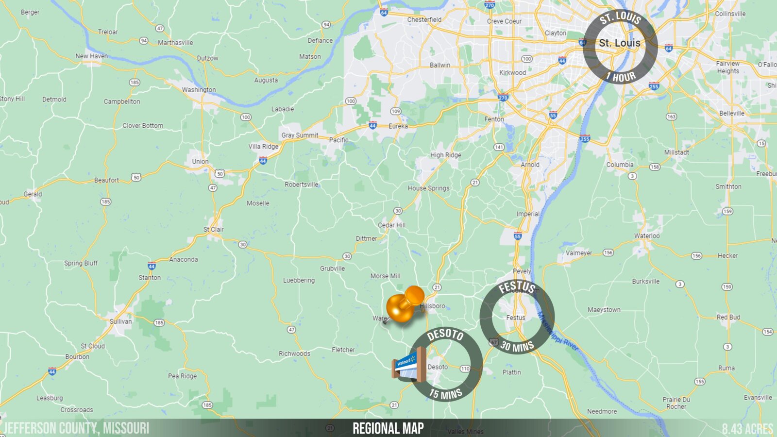
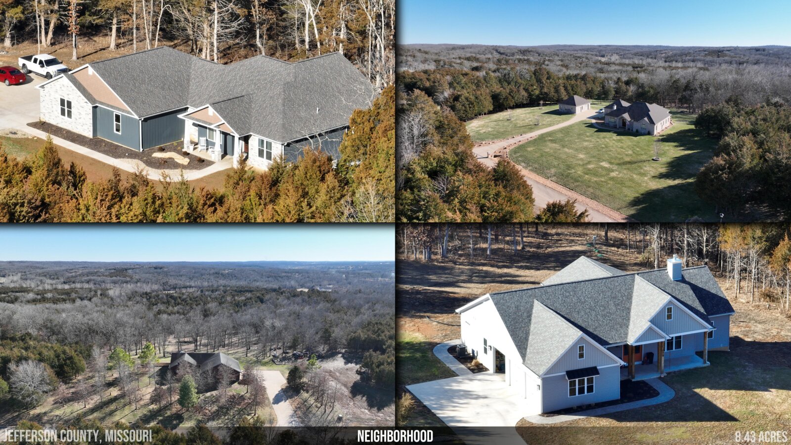
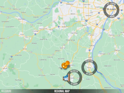
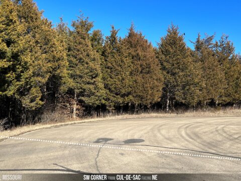
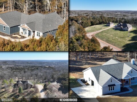
Build your dream home amongst the lush greenery and beautiful rolling hills of Cedars at Bent Creek, less than an hour from St. Louis.
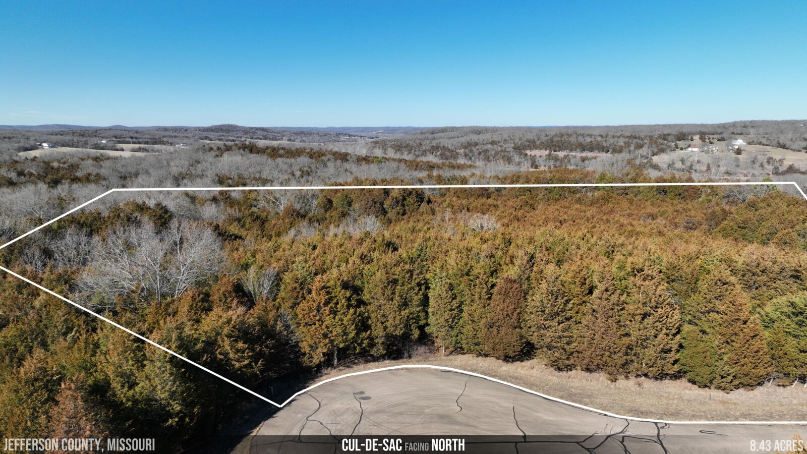
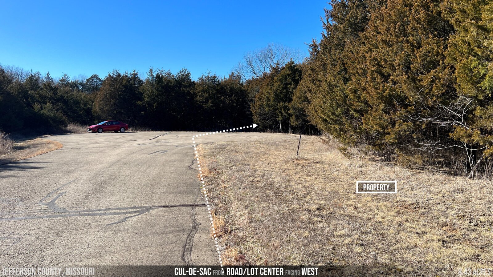
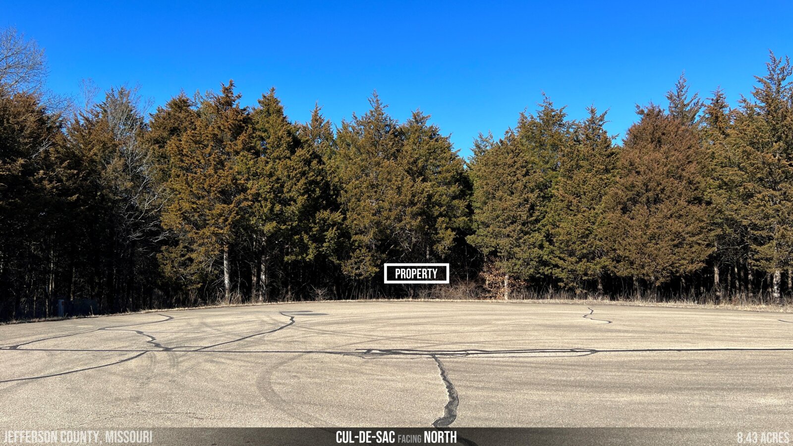
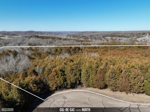
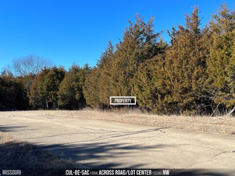
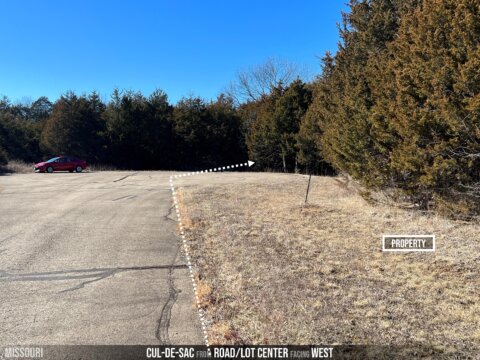
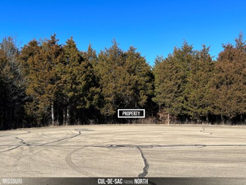
- End of Paved Cul-de-sac
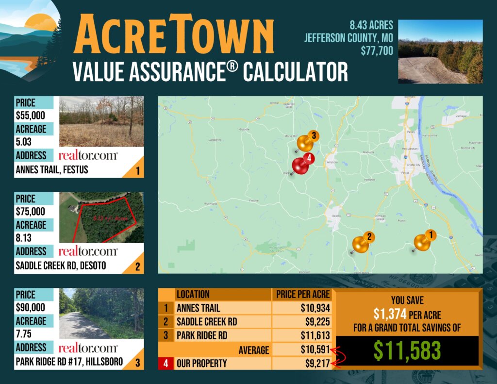
- Priced about 13% Below Market
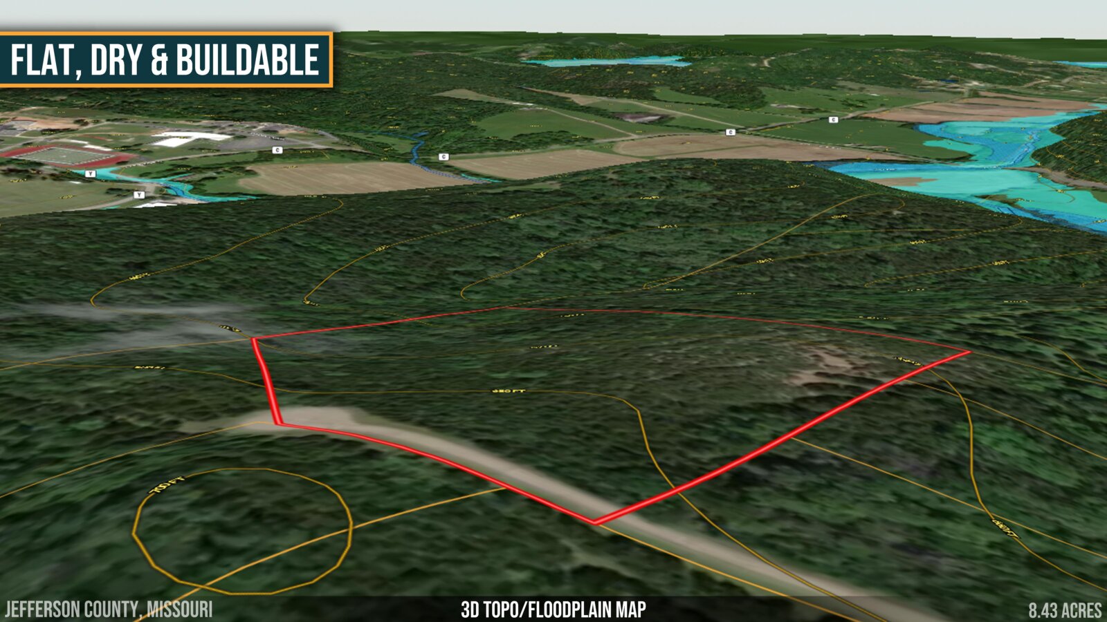
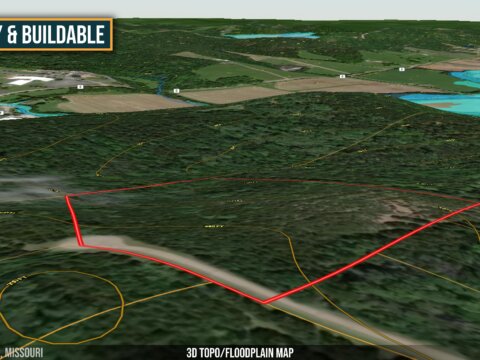
- Very Buildable Topography
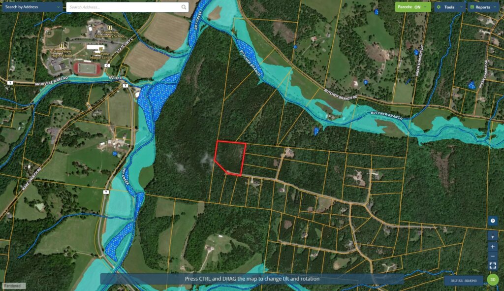
- No Floodplain or Wetlands
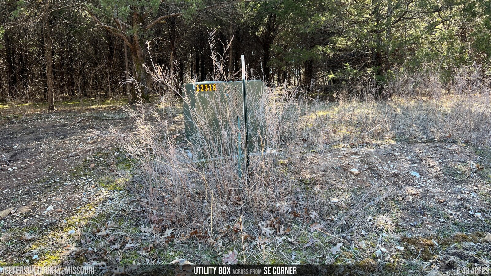
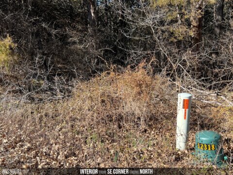
- Power Available
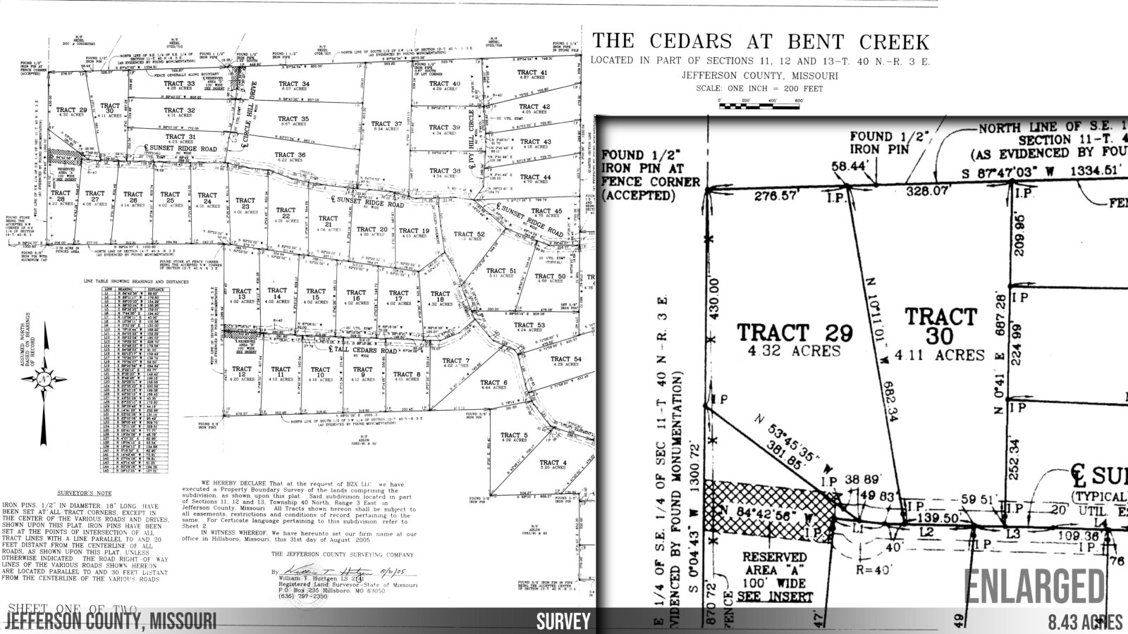
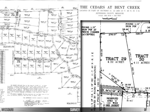
- Surveyed
- Beauty & Seclusion of Country w/City Conveniences Nearby
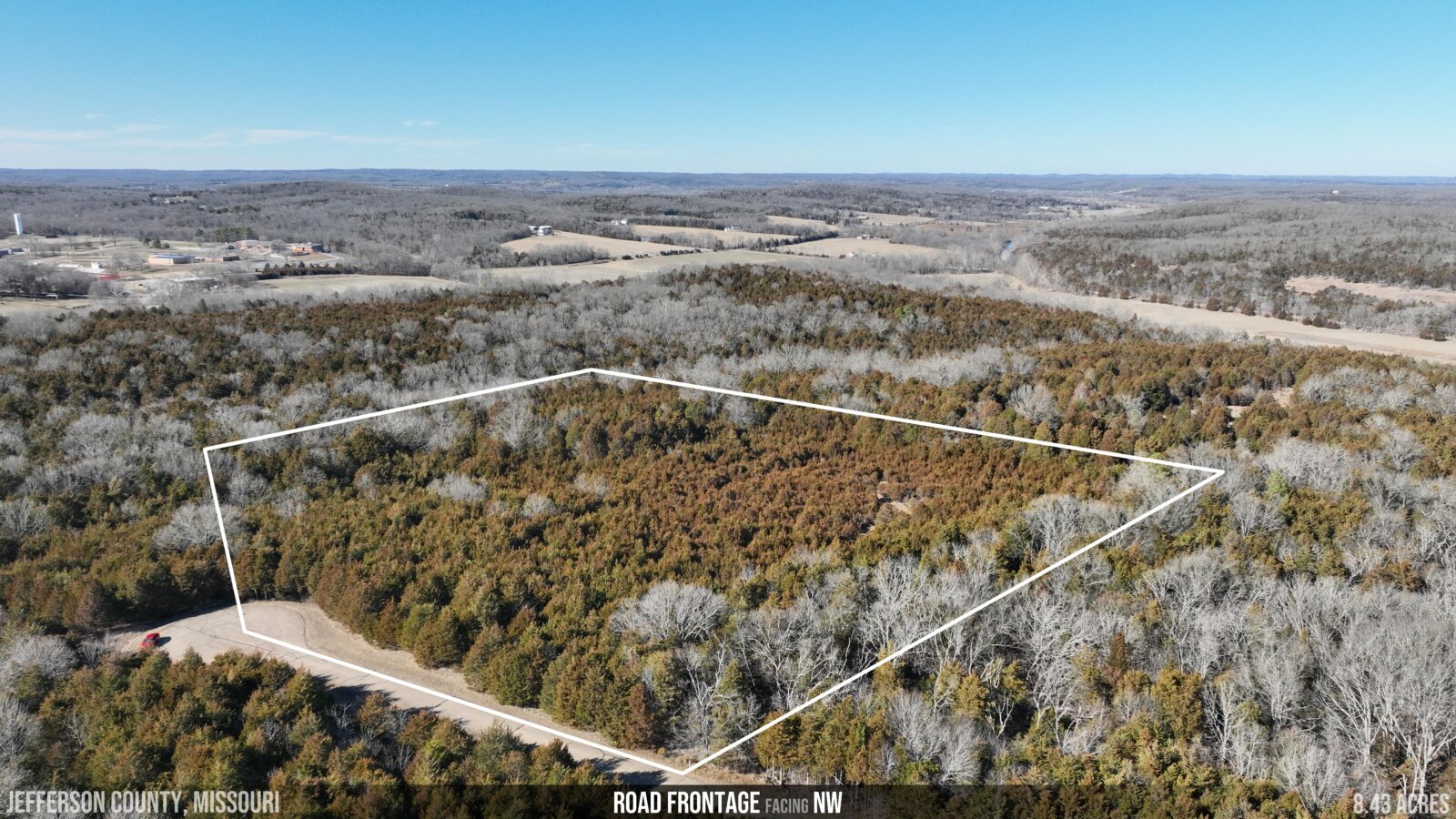
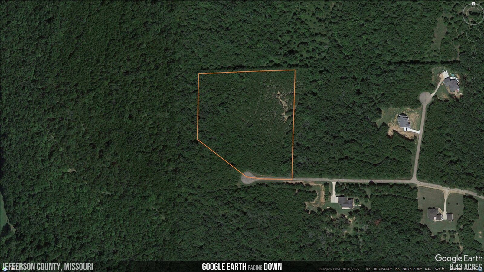
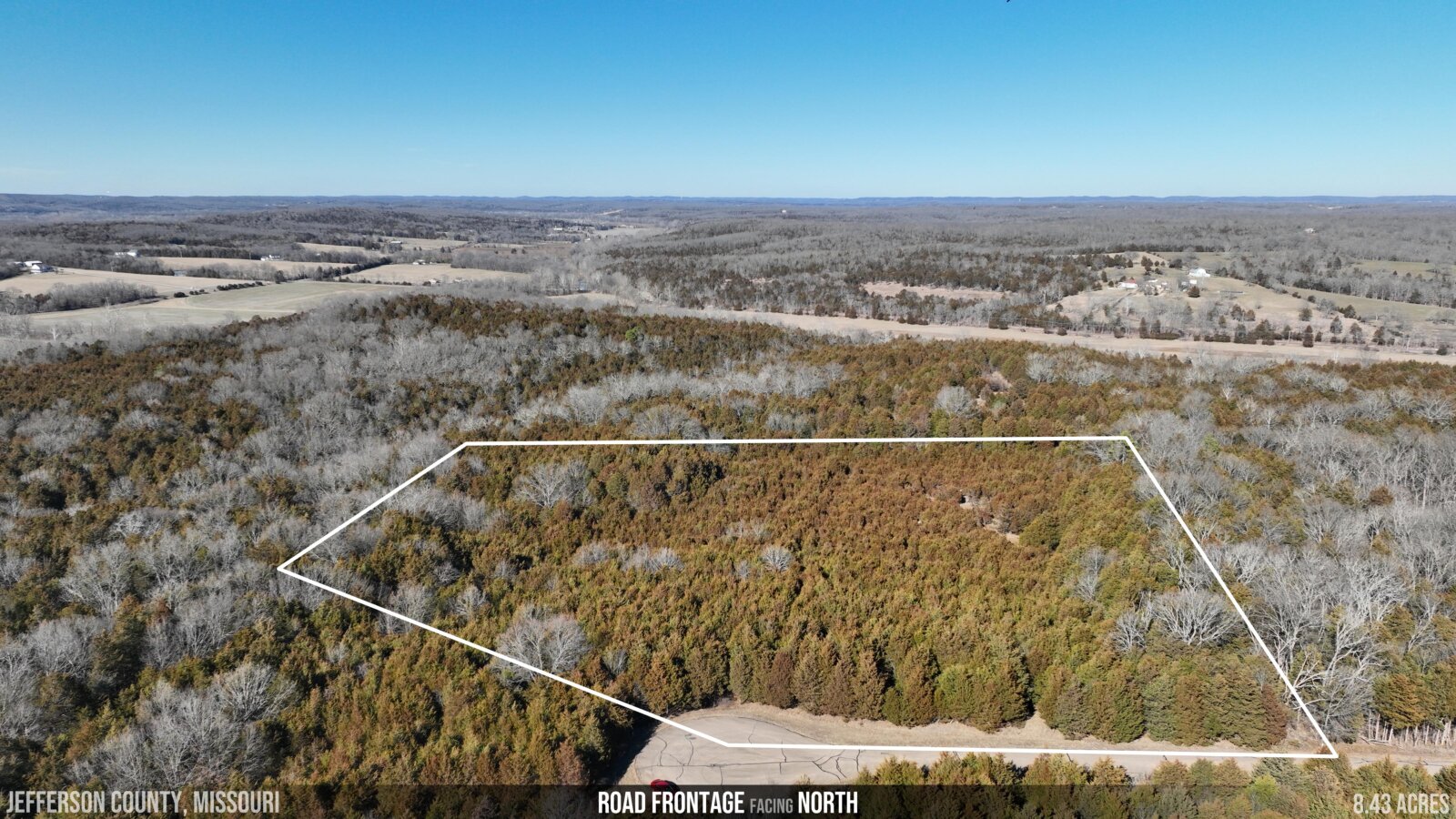
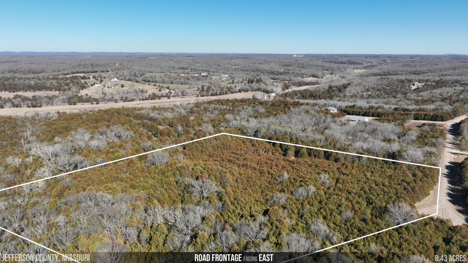
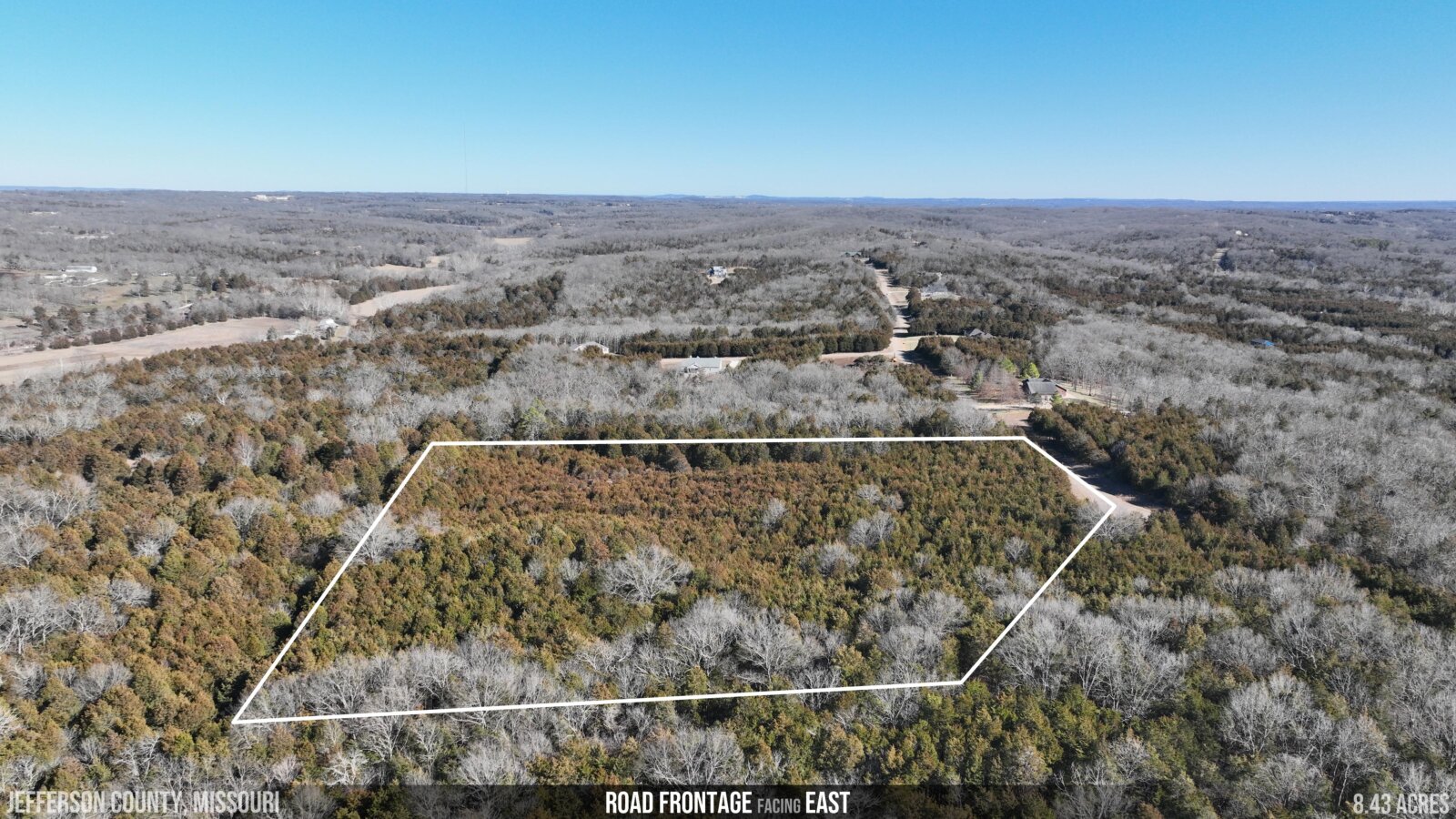
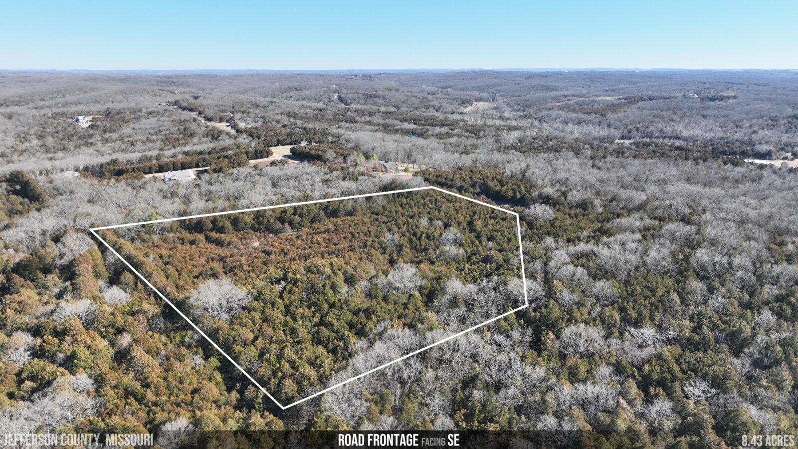
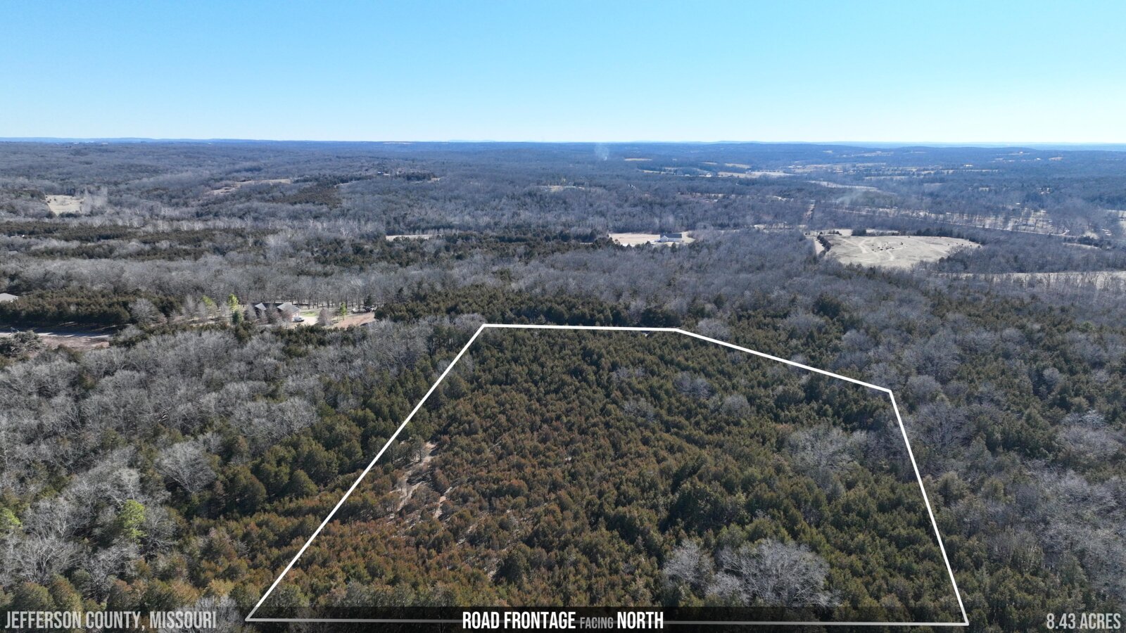
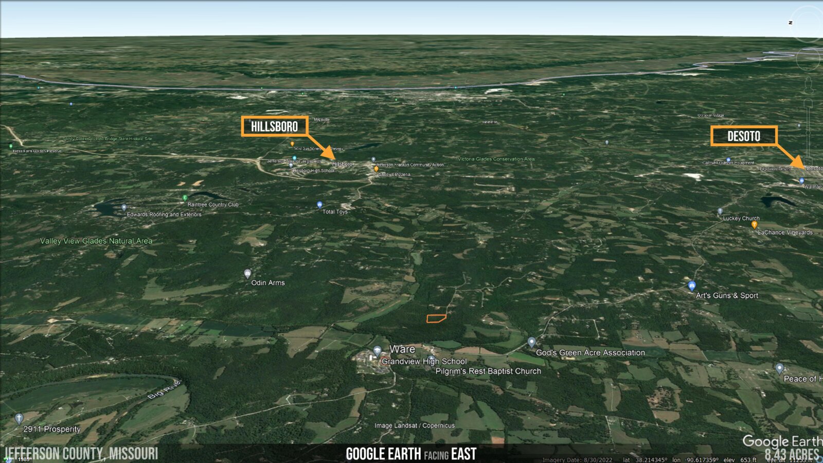
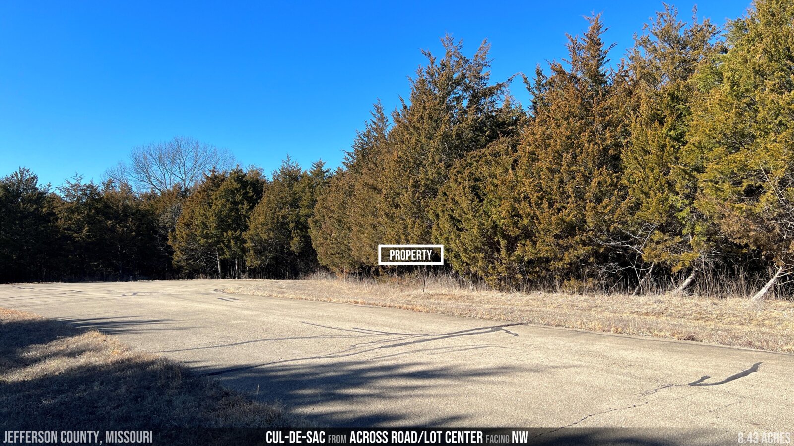
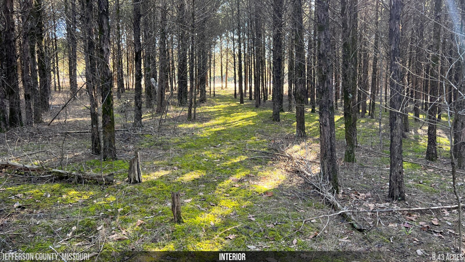
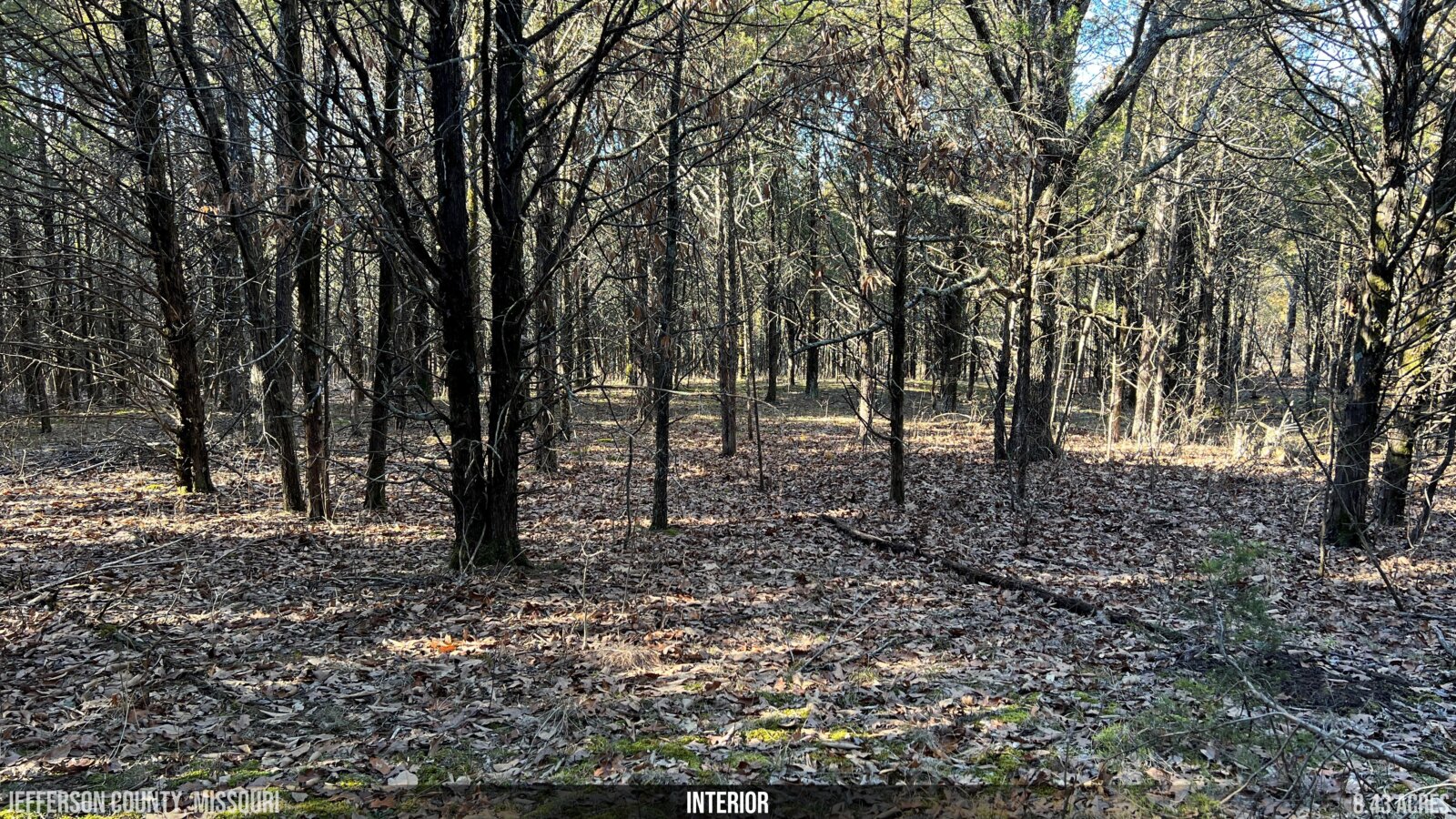
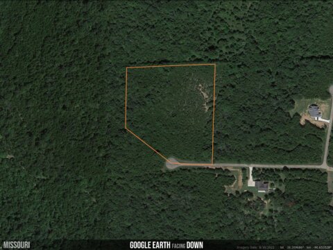
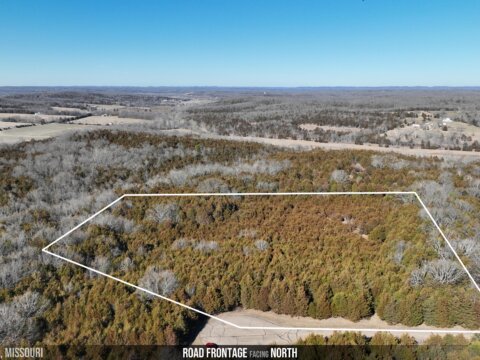
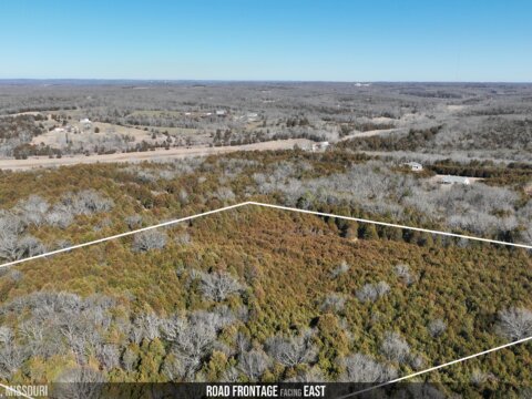
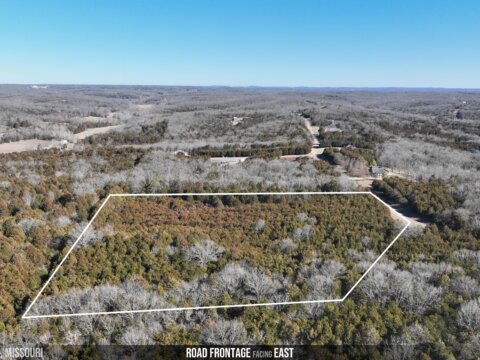
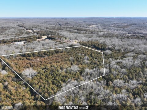
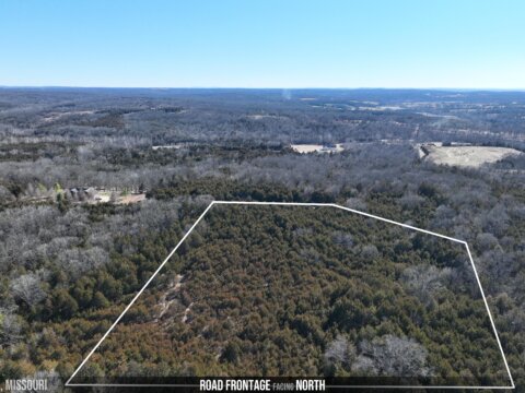
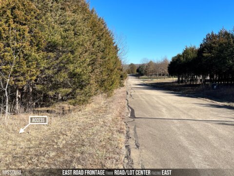
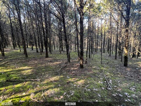
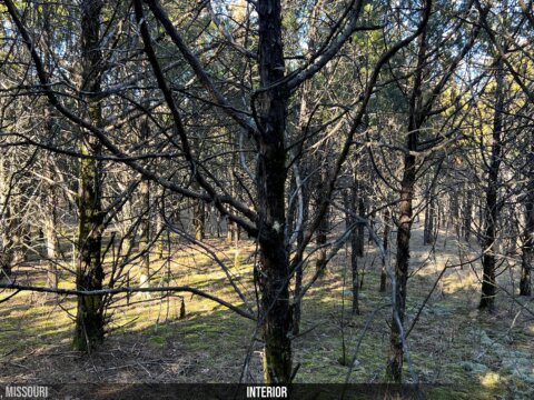
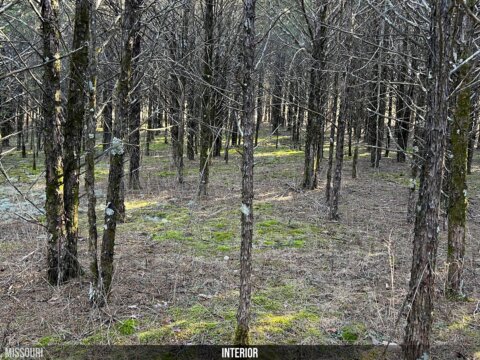
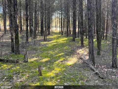
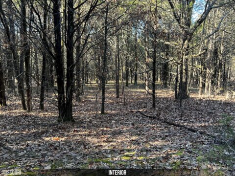
PROPERTY: Welcome to your own personal oasis! This 8.43 acre lot located at the end of a secluded cul-de-sac in the exclusive Cedars at Bent Creek subdivision offers beautiful views, privacy, and so much more. With power available and no floodplain or wetlands encroachment, this surveyed and gently sloping lot is extremely buildable and perfect for creating your ideal home. Plus you’ll be just 15 minutes from major shopping in Desoto (with a Walmart) and only 30 minutes from Festus and the Mississippi River, giving you plenty of opportunities for urban and outdoor entertainment nearby. Don’t miss out on this amazing opportunity – come make this stunningly secluded property yours today at an unbeatable Acretown price!
Call or text Scott directly at 314.639.9777 or email info@acretown.com if you have any questions or would like to make an offer. We’ve posted a lot of info below – including critical instructions for visiting the property – so please keep reading!
Best Deal in the Market – Check Zillow or Realtor and You’ll Agree!

After opening this map, you may see even more information about the area by clicking on Map Legend, then Overlays.

- SIZE: 8.43 acres
- ADDRESS (street # estimated – use GPS for navigation): 6221 Sunset Ridge Rd, Hillsboro MO 63050
- GPS COORDINATES: 38.209041, -90.653138
- APN: 16-1.0-11.0-0-000-010.05
- ABRIDGED LEGAL DESCRIPTION: Cedars at Bent Creek, Lots 29 & 30, Jefferson County, MO Recorder’s Office Plat Book 229, Pages 26-27
- PLAT MAP/SURVEY: download here (get boundary/KML file here – opens in Google Earth)
- TITLE: General Warranty deed (clean – no back taxes, no liens)
- MINERAL RIGHTS: any mineral rights we own will convey to buyer (we have no knowledge of any severance of mineral rights by a previous owner)
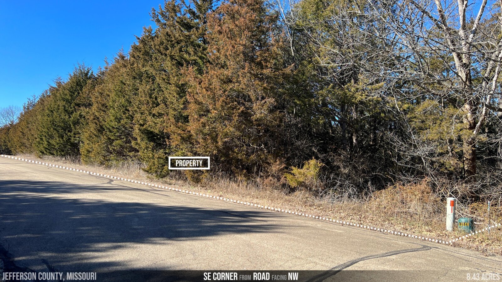
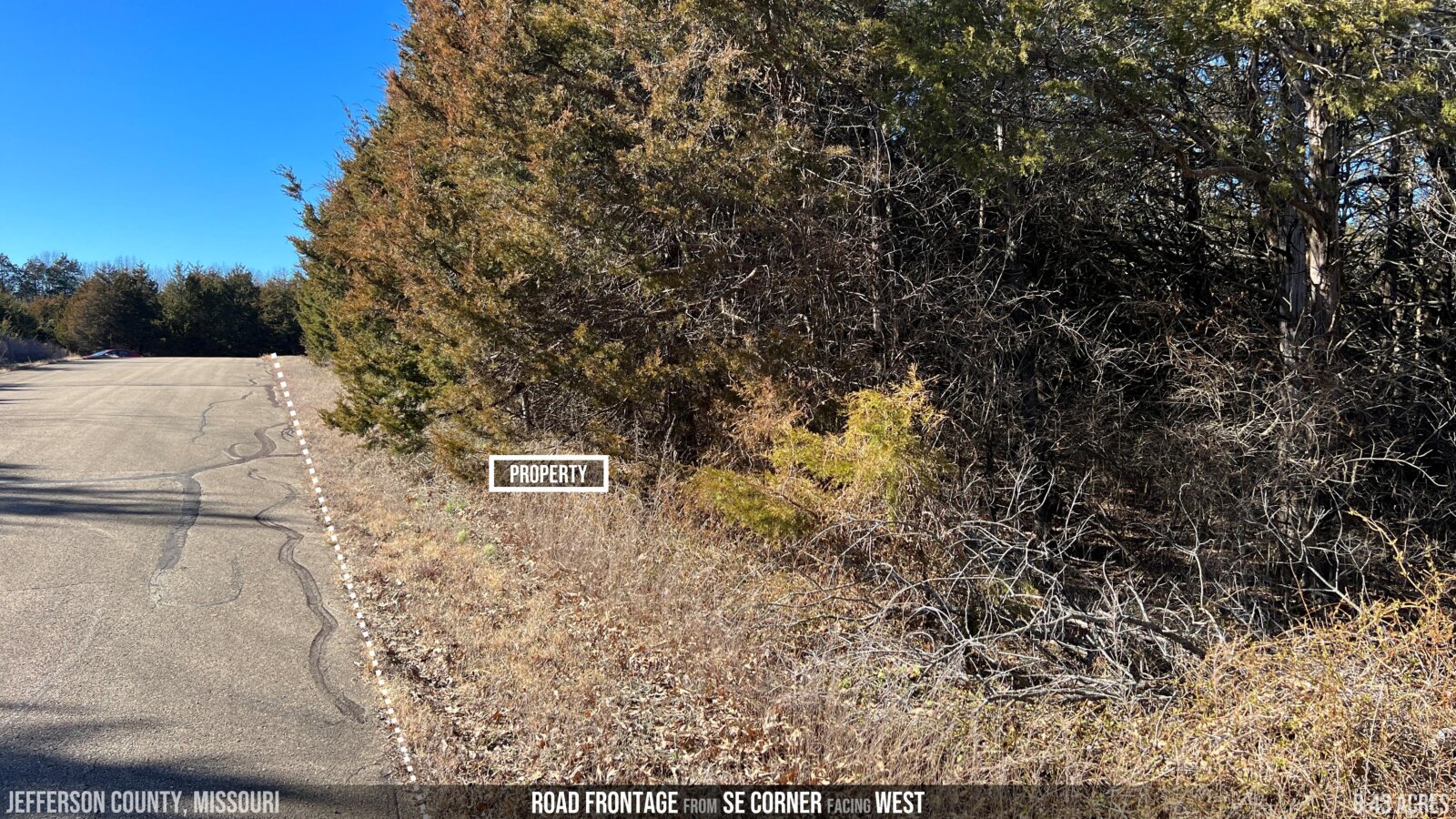
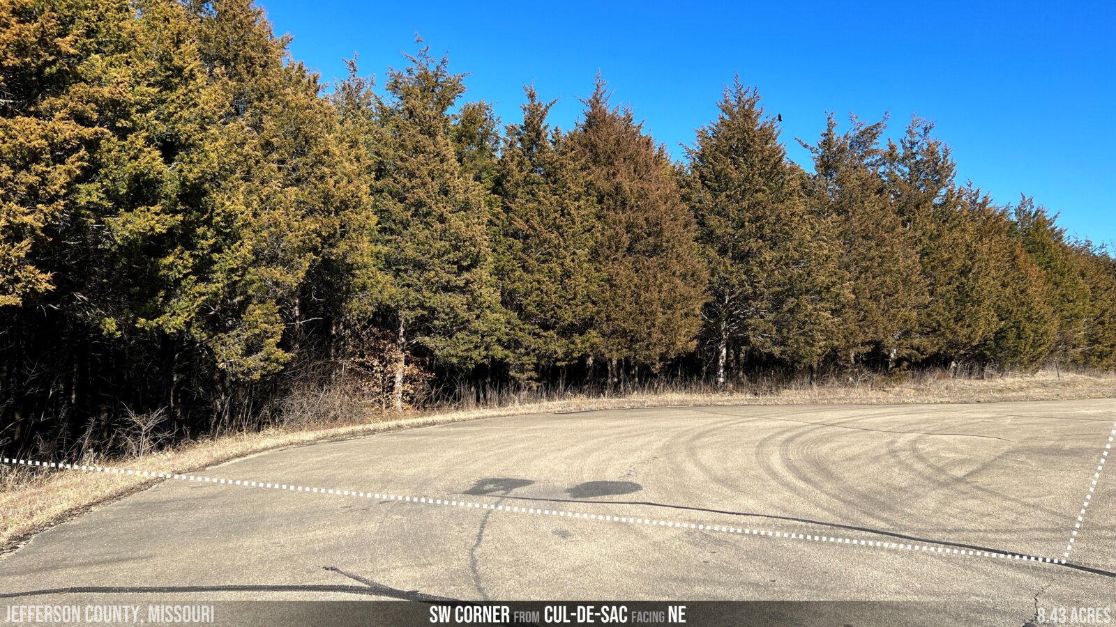
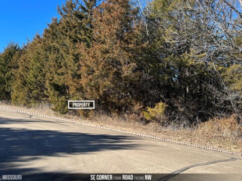
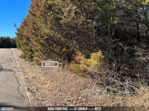
- DIMENSIONS (approximate): starting at SE corner, 290′ west (along road) x 421′ northwest x 430′ north x 605′ east x 687′ south to POB
- FLOODPLAIN: none, and no wetlands
- ELEVATION: 691 feet
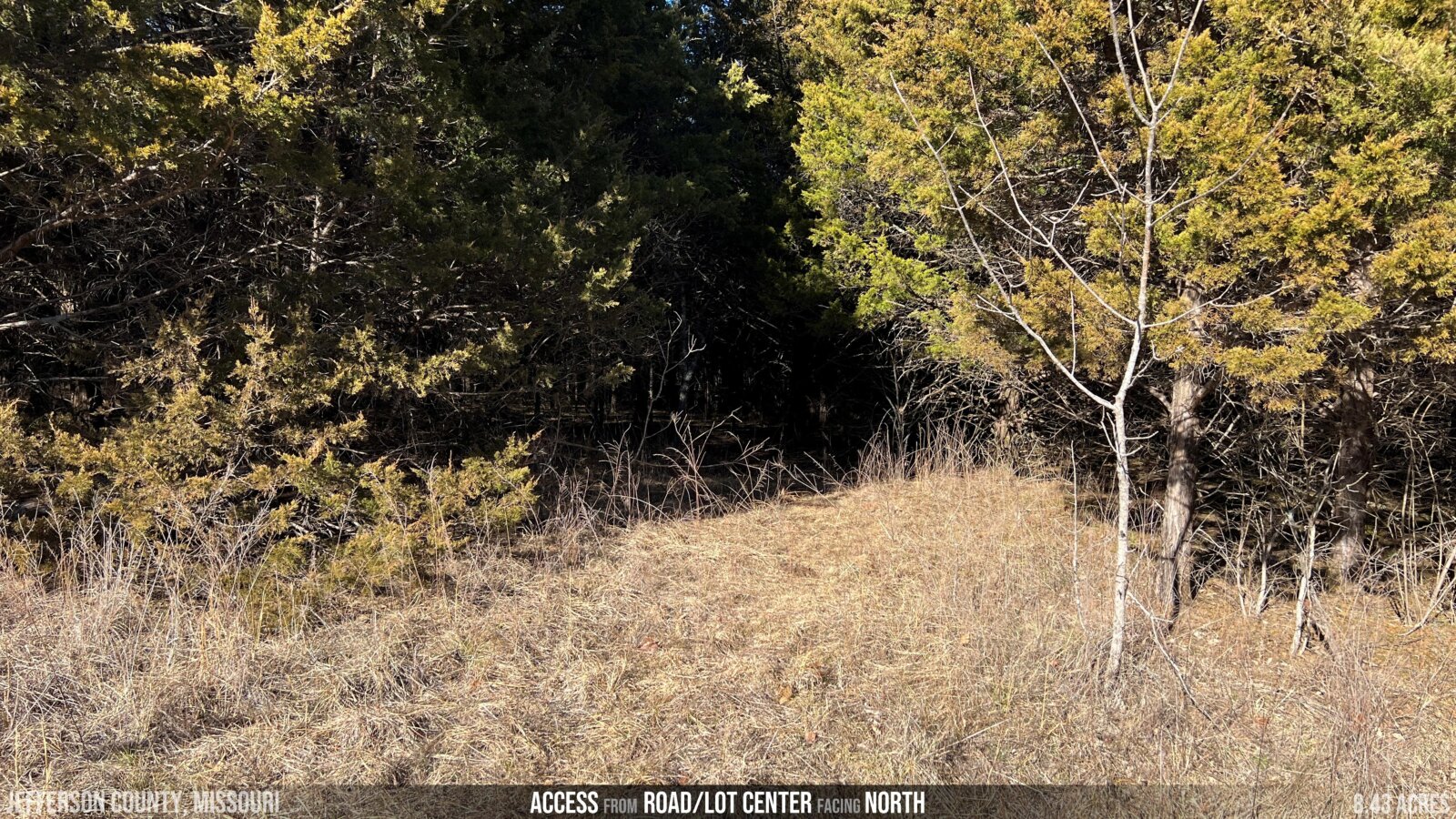
- TERRAIN: generally flat to gentle slope (from east to west)
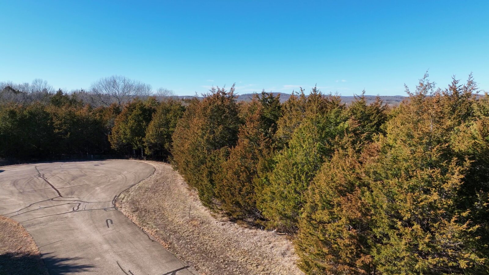
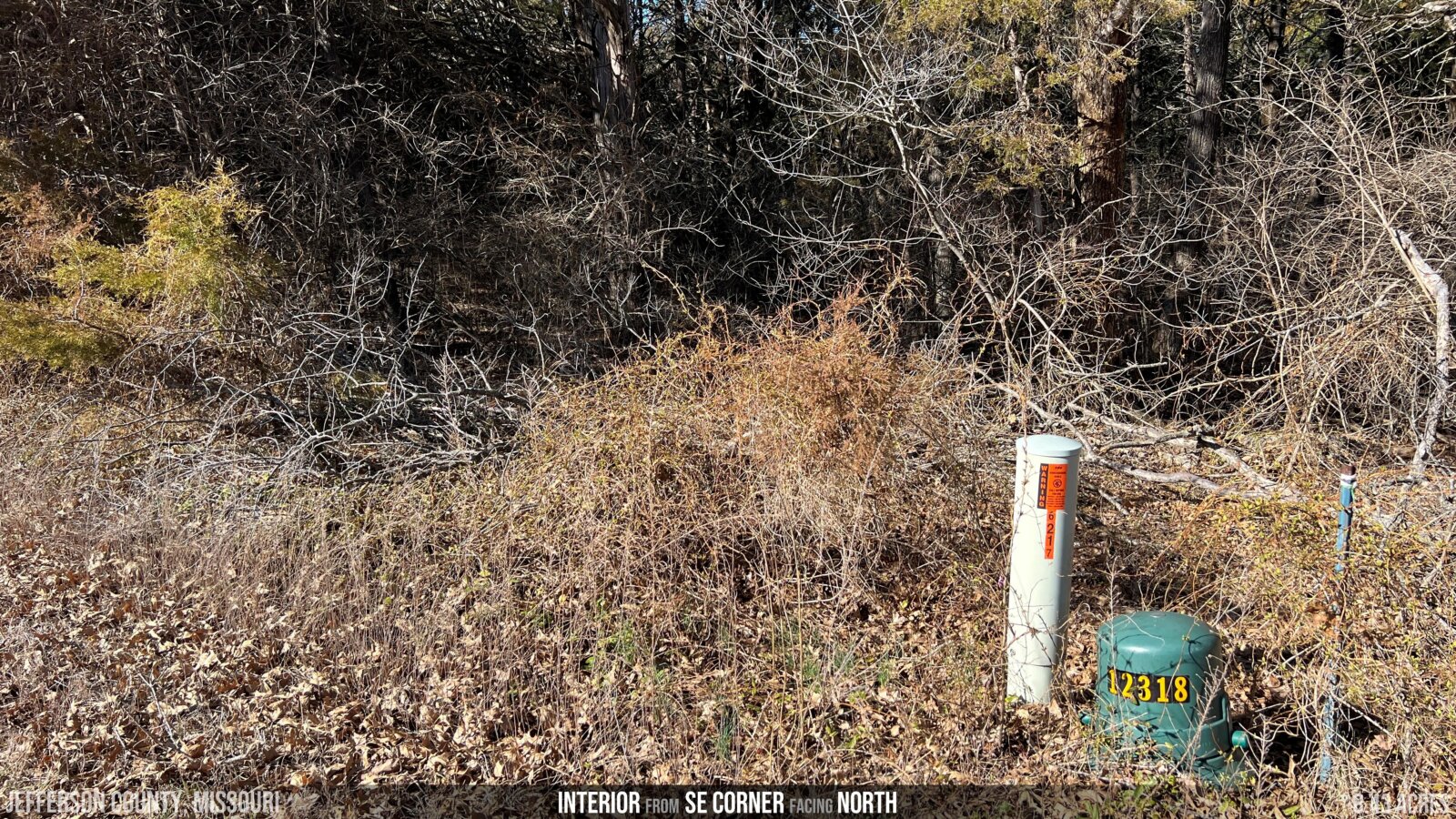
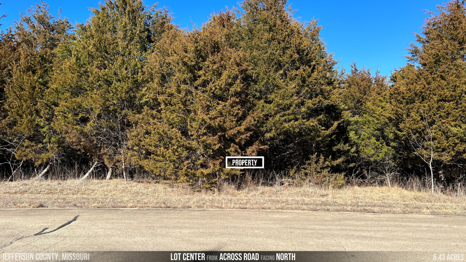
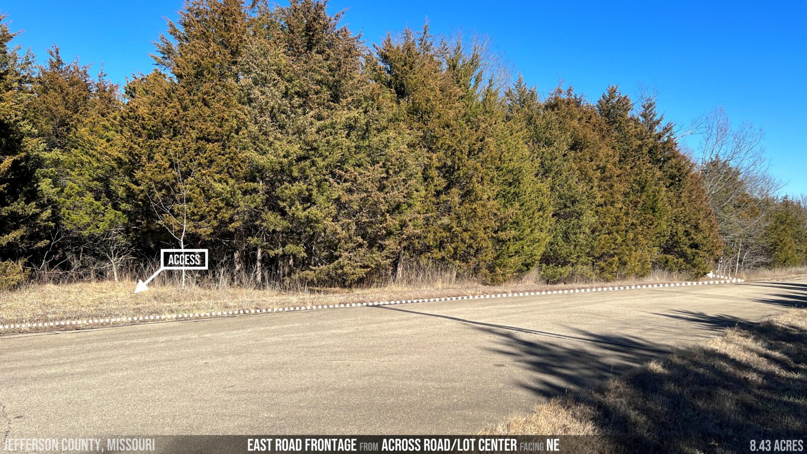
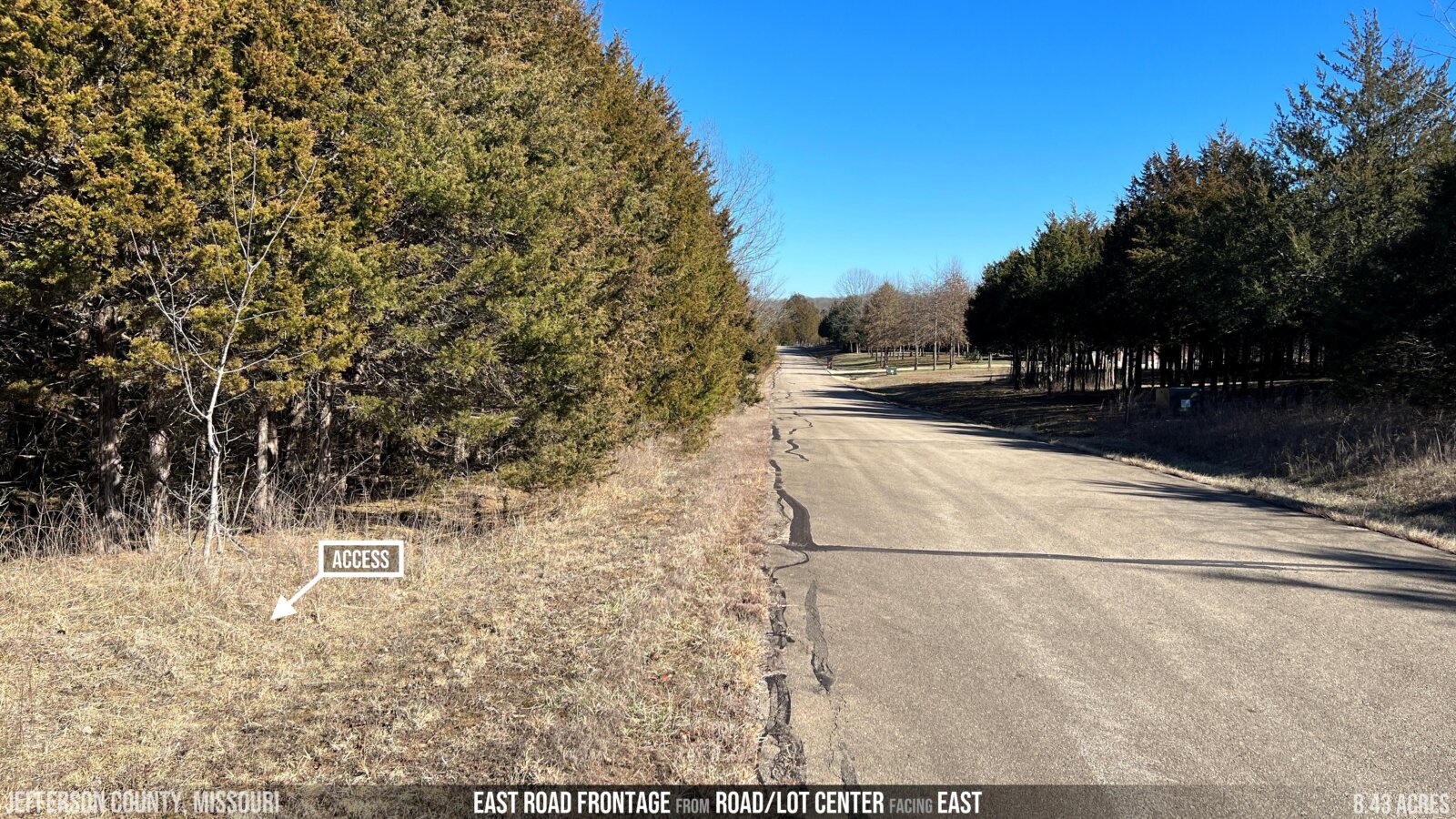
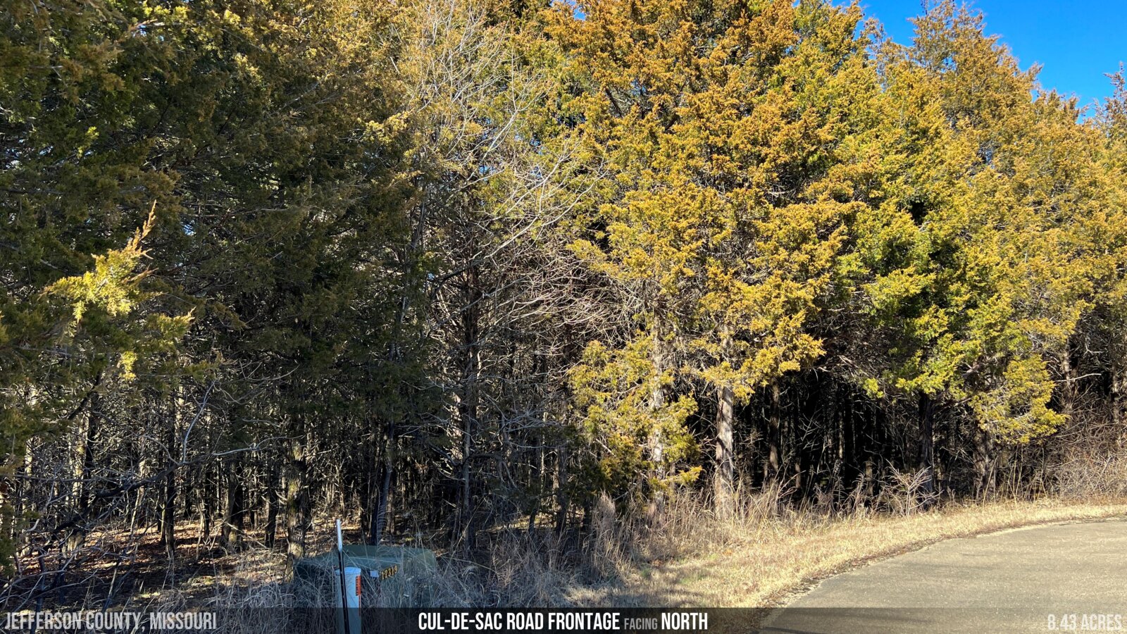
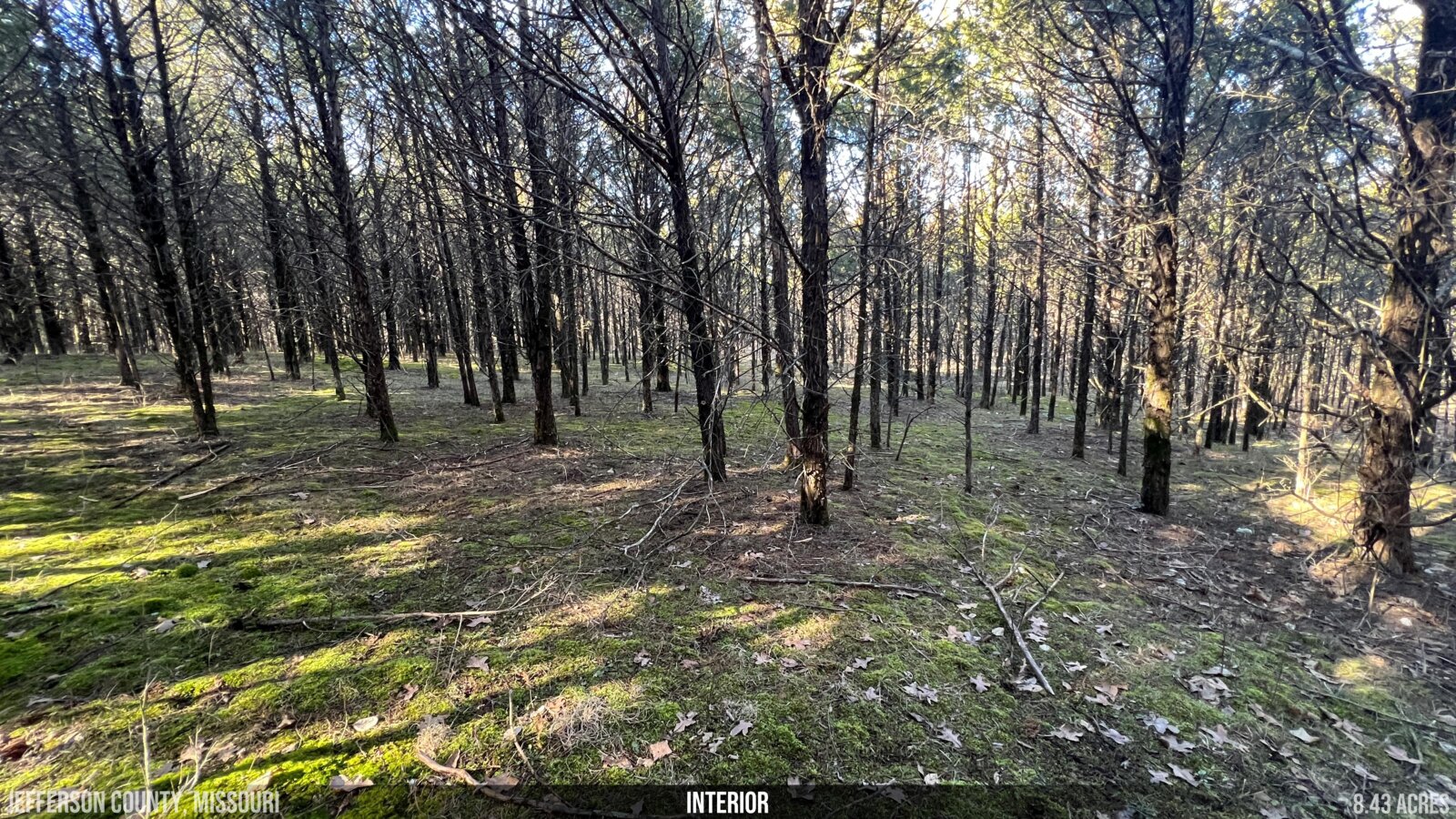
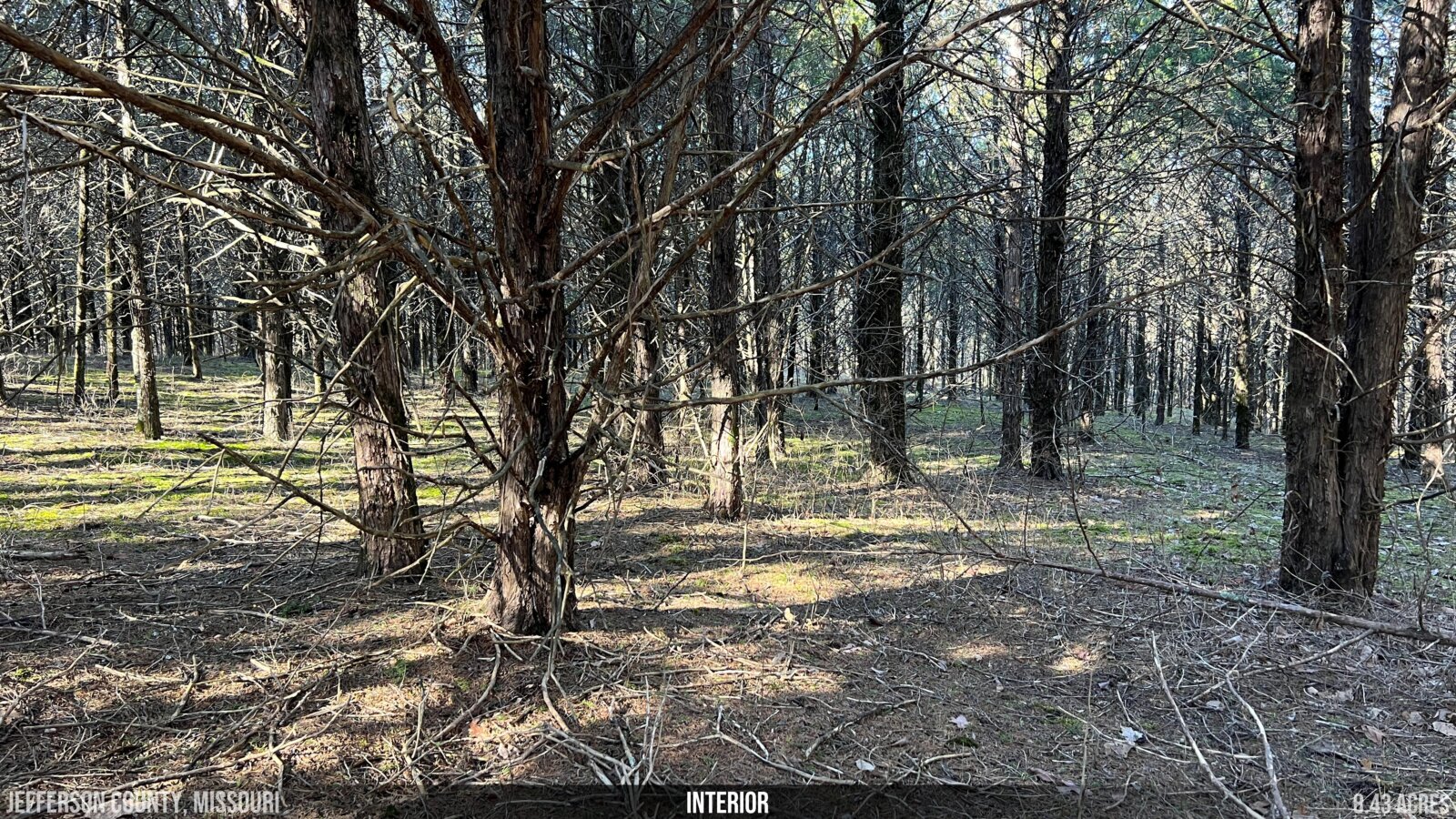
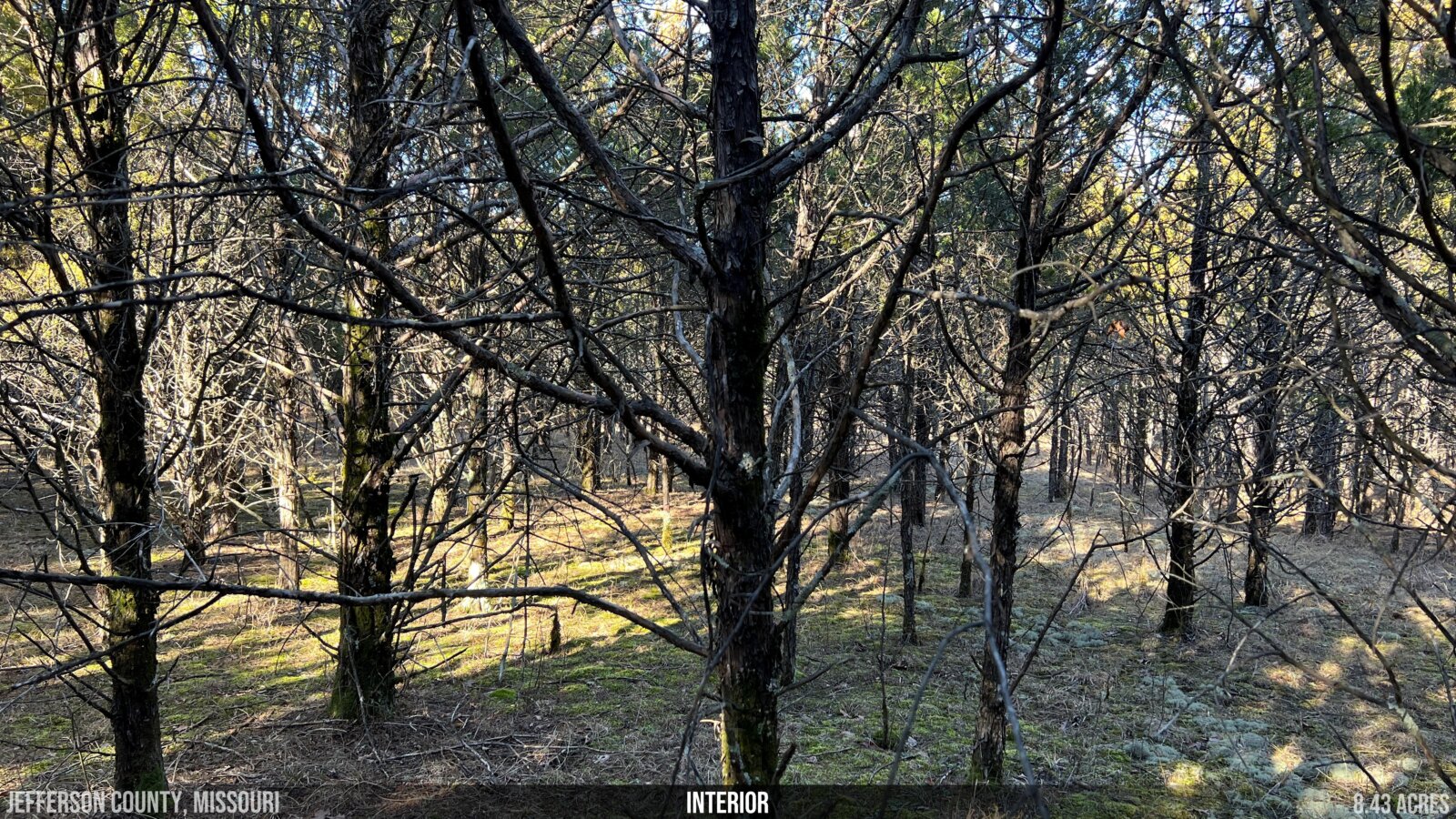
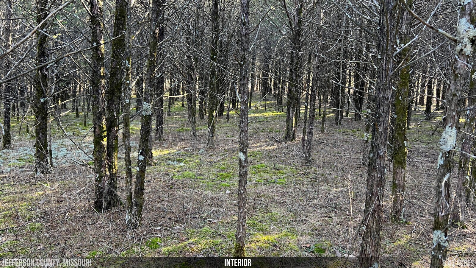
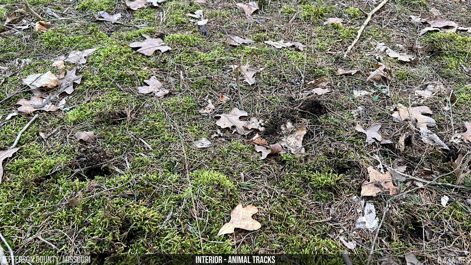
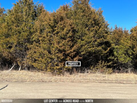
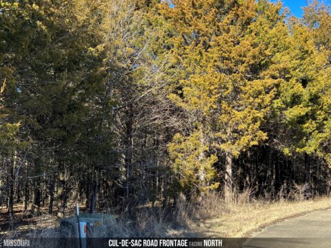
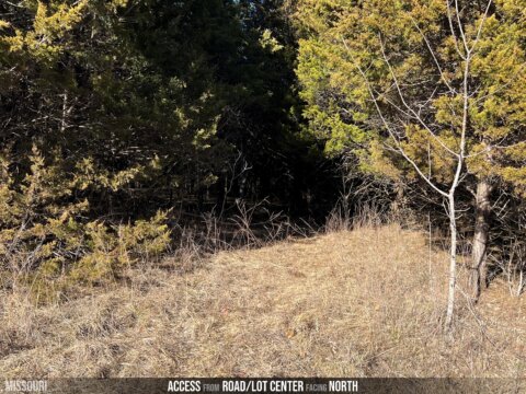
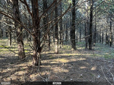
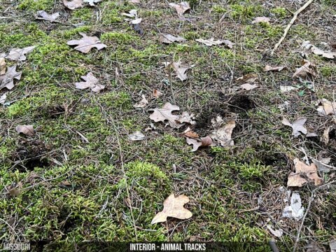
- CONDITION: undeveloped, wooded
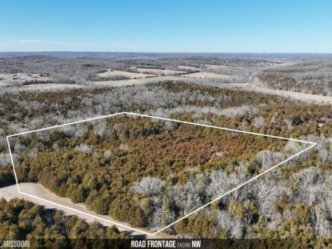
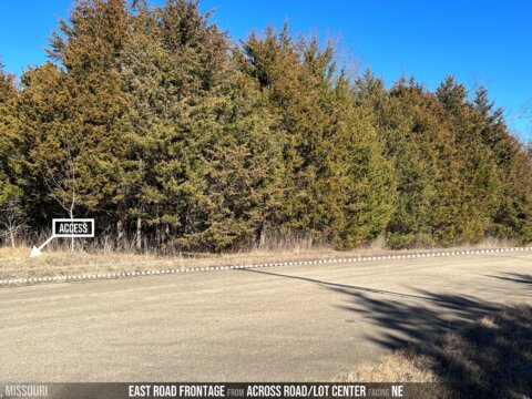
- ACCESS: 290 feet of direct frontage on Sunset Ridge Rd, a paved road
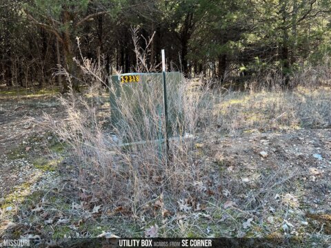
- POWER: available
- WATER: well would need to be installed
- WASTEWATER: none (septic system would need to be installed)
- The built-in savings you receive on all Acretown properties frees up extra money to install a variety of conventional and more modern, non-conventional septic systems, like mound systems, pressurized dosing, plastic chamber leach fields, aerobic treatment, etc. (which have become popular solutions to non-satisfactory perc tests).
- TAXES: $769.06 in 2021
- HOA: Cedars at Bent Creek
- HOA FEES: $33.33/month
- RESTRICTIONS: download here (summarized below)
- sjngle family home only
- 2000 sf minimum home size
- two-car garage required (unless home is at least 2500 sf)
- setback: 50′ of nearest boundary line
- no mobile or manufactured homes
- horses and household pets allowed but no farm animals
- up to two accessory buildings allowed if at least 600 sf each
- subdivision allowed to 4 acre lots minimum
- sjngle family home only
- SCHOOL DISTRICTS: Grandview (Elementary) – Grandview (Middle School) – Grandview (High School)
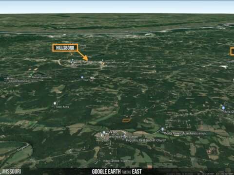
- NEAREST CITIES: Hillsboro < Desoto < St. Louis
- NEAREST AIRPORTS: St. Louis Lambert International (57 mins)
- COUNTY GOVERNMENT:
- Assessor (636) 797-5466
- Treasurer (636) 797-5368
- Recorder of Deeds (636) 797-5414
- Clerk (636) 797-5486
- Planning & Zoning (636) 797-5580


You can go view the property at your convenience – owner does not need to accompany. Please call/text us to let us know you’re heading out, so we can ensure we have our phone on us in case you need help or have any questions. We’d appreciate a couple hours notice if possible. In case you lose cell phone service, it may be helpful to print off as many helpful documents as you can before you head out there.
DRIVING DIRECTIONS: Click HERE to open the destination in Google Maps, and simply enter your starting point to get step-by-step directions.
- From this link, you can press “Directions” (on the left), enter your starting point, and Google Maps will provide you with step-by-step directions.
- You can also click “Send to Phone” if you’re viewing this on your computer
- And “Save” to download the directions so they’ll still work if you lose cell service.
If for some reason you’re having trouble with that link, you can navigate to GPS Coordinates 38.209041, -90.653138.
WALKING THE PROPERTY LINES w/YOUR PHONE: We highly recommend downloading Google Earth to your phone if you don’t already have it. Then . . .
- Download the property boundary file (called a KML or KMZ file) here. You may be prompted to click “download” one more time, so do that . . . OR you may be prompted to immediately open the file with Google Earth and, in that case, do that and ignore the remaining steps. Otherwise . . .
- Open Google Earth
- Go to the main menu (the three horizontal lines at the top left of the screen), then Projects > Open > Import KML file > select the KML file you just downloaded (it should show up on that screen).
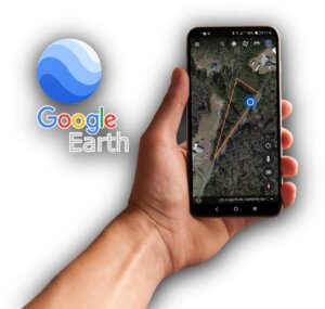
Now you should be able to see the property lines on the map, and the green dot represents where you’re currently standing. This is a very important tool to learn BEFORE you head out there. Please call us if you have any questions about it.

coming soon . . .

OWNER FINANCING: We do not offer owner-financing but you could get a loan through a bank or another lender and we’d be happy to coordinate with them.
OUTSIDE FINANCING: Your best deal for financing will come from a local bank or credit union and we can help you find a great deal. Land loans typically require about 15-25% down.

Rural 1st is America’s leading land lender for rural properties and they require as little as 15% down on a 10 or 15-year fixed land loan, with no PMI, and they prefer a credit score of 720 or better. Please contact Michael Wirth by phone or email at (502) 553-8152 or michael.wirth@rural1st.com. They do serve Missouri.

Call or text Scott directly at 314.639.9777 or email at info@acretown.com if you’d like to discuss an offer.
FOR SALE BY OWNER: We are investors, and are selling this lot For-Sale-By-Owner. You do not need to submit your offer through a real estate agent, and in our experience we close transactions more quickly and easily by having our dedicated transaction coordinator work directly with the Title Company and Buyers. We will also both save money on commission/fees by cutting out agents as the middle men. However, if you feel strongly about working with a Realtor, then you’re welcome to have them contact us on your behalf.

WHY ARE YOU SELLING IT SO CHEAP? We are often asked why we price our properties at below market value, and the answer is really simple: because we can, and that’s our core business model. We are investors who purchase properties at a large volume and deeply liquidated rates, and by passing this discount on to our buyers, we can sell land quickly . . . and more of it! In fact, our average property only lasts 2-3 weeks on the market (vs. industry average of about 6 months).
DISCLAIMER: We attempt to provide detailed, accurate and up-to-date information in our listings, in order to help our buyers to the best of our ability. However, it ultimately remains the buyer’s responsibility to perform their own due diligence and double check any details that are of significant importance to you including acreage, utilities, build-ability, and approved/allowable use-age for the property. We are happy to help however we can.

